An remarkable walk through the stunning remains of Lewes Priory and surrounding recreational fields.

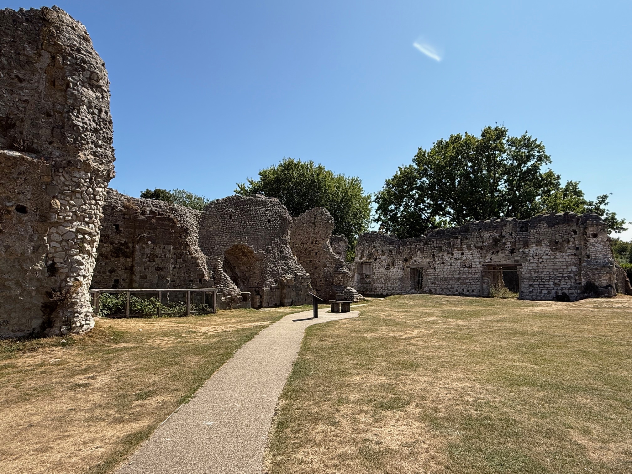
Walk Summary
 Location: Lewes, East Sussex, South East England
 Distance: 1.1 miles (1.8 km)
 The walk is circular
 Ascent: 26 metres (85.3 feet)
 Type of walk: Historic, Leisure park
 Points of interest: Heritage site, Play park, Recreation ground, Ruins
 Protected Landscapes: South Downs National Park
Location: Lewes, East Sussex, South East England
Distance: 1.1 miles (1.8 km) The walk is circular Ascent: 26 metres (85.3 feet) Type of walk: Historic, Leisure park
Points of interest: Heritage site, Play park, Recreation ground, Ruins
Protected Landscapes: South Downs National Park
Getting here
Starting point: Mountfield Road (Lewis Football Club) car park
Postcode: BN72XA
Grid reference: TQ 41606 09668
W3W: ///popping.committed.worldwide
End point: The walk is circular
 Parking: Dedicated accessible parking, Electric vehicle charging, In a car park, Paid for parking
Car park opening times are 24 hours Additional parking on Cockshut Road, though this is occasionally reserved for tennis club event attendees. Public Transport: Train
250 metres from Lewes railway station, turn left onto Station Road, then left onto Mountfield Road and turn right on the footpath before the car park. Cost of entry: Free
Starting point: Mountfield Road (Lewis Football Club) car parkPostcode: BN72XA
Grid reference: TQ 41606 09668
W3W: ///popping.committed.worldwide
End point: The walk is circular
Parking: Dedicated accessible parking, Electric vehicle charging, In a car park, Paid for parkingCar park opening times are 24 hours Additional parking on Cockshut Road, though this is occasionally reserved for tennis club event attendees.
Public Transport: Train250 metres from Lewes railway station, turn left onto Station Road, then left onto Mountfield Road and turn right on the footpath before the car park.
Cost of entry: Free
Facilities
 Seats available
  Toilets available Male and Female
Toilets on Pinwell Road, the ramp to the station car park, with stepped access and no accessible toilet. Food and drink available Cafe/s nearby, Pub/s nearby, Shop/s nearby, Takeaway/s nearby
 No shelter
 Route not waymaked, but there are footpath signs
  Information boards available
 No staff available to assist
 Dog waste bin available
Seats available Toilets available Male and FemaleToilets on Pinwell Road, the ramp to the station car park, with stepped access and no accessible toilet.
Food and drink available Cafe/s nearby, Pub/s nearby, Shop/s nearby, Takeaway/s nearbyNo food or drink on the route, food and drink available near Lewes railway station and in Lewes town.
No shelter Route not waymaked, but there are footpath signs Information boards available No staff available to assist Dog waste bin availableRoute number: LEWE003Added by: One Mile WalksVerified by: One Mile Walks
Last reviewed: August 2026
Something not right? Got a comment?