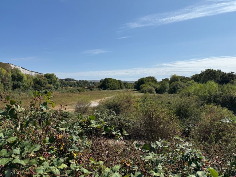
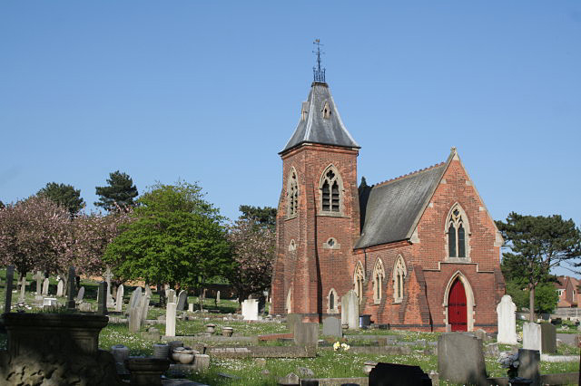
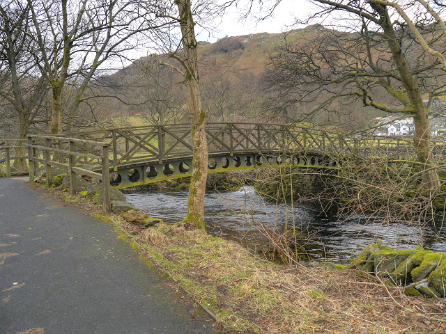
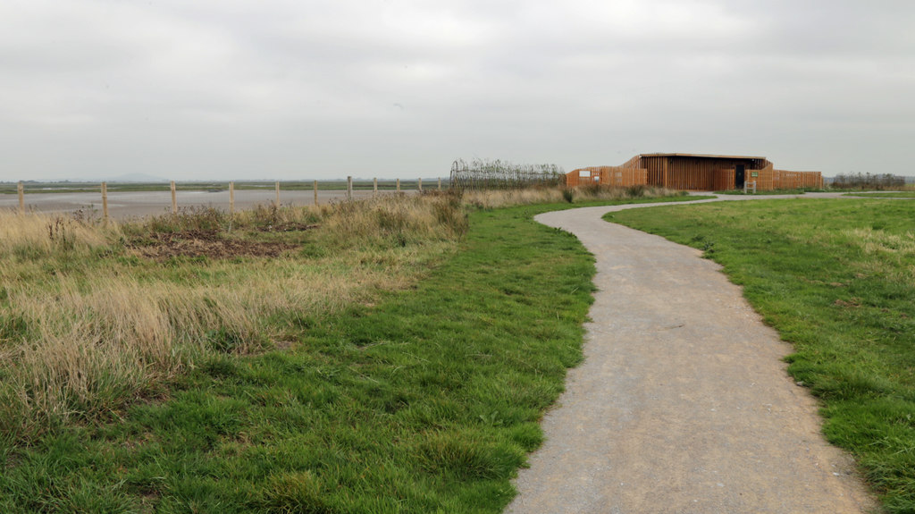
A short walk from the youth hostel into and around pretty Hartington Village.


Walk Summary

 Location: Hartington, Derbyshire, East Midlands
 Distance: 1.2 miles (1.9 km)
 The walk is circular
 Ascent: 52 metres (170.6 feet)
 Route grade: 20
 Type of walk: Village
 Points of interest: Church, Interesting building, Shopping
 Protected Landscapes: Peak District National Park
Getting here
Starting point: YHA Hartington
Postcode: SK17 0AT
Grid reference: SK 131 063
W3W: ///incisions.zoomed.enjoys
End point: The walk is circular
 Parking: In a car park, On the road
Car park is for hostel guests. On-road parking available. Public Transport: Bus
Bus stop outside hostel. Cost of entry: Free
Starting point: YHA HartingtonPostcode: SK17 0AT
Grid reference: SK 131 063
W3W: ///incisions.zoomed.enjoys
End point: The walk is circular
Parking: In a car park, On the roadCar park is for hostel guests. On-road parking available.
Public Transport: BusBus stop outside hostel.
Cost of entry: Free
Facilities
 Seats available maximum distance between seats is 1300 metres
 Toilets available Accessible, Male and Female
 Food and drink available Cafe/s, Pub/s, Shop/s
 Shelter available
 Not a waymarked route
 No staff available to assist
Seats available maximum distance between seats is 1300 metres Toilets available Accessible, Male and Female Food and drink available Cafe/s, Pub/s, Shop/s Shelter available Not a waymarked route No staff available to assist
Accessibility summary
 Not wheelchair accessible
Steps and uneven and narrow paths Not pushchair accessible
 No stiles
 There are steps
 Not touch free
 There are gates
 Not all paths are over one metre wide
 Walking surface: paved or tarmac, rocky, small stones or gravel, steep in places
 Includes well used paths and less well used paths
 There are road crossings
 Not car free, includes: road crossings, walking alongside roads on pavements, walking on roads without pavements
Not wheelchair accessible
Steps and uneven and narrow paths
Not pushchair accessible
No stiles
There are steps
Not touch free
There are gates
Not all paths are over one metre wide
Walking surface: paved or tarmac, rocky, small stones or gravel, steep in places
Includes well used paths and less well used paths
There are road crossings
Not car free, includes: road crossings, walking alongside roads on pavements, walking on roads without pavements
Route number: PEAK001Added by: One Mile WalksVerified by: YHA
Last reviewed: January 2026
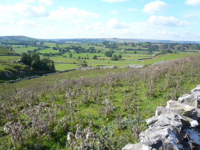
Photo credit: 'View from Reynards Lane' sourced from Geograph © Copyright Alan Heardman and licensed for reuse under this licence Creative Commons 2.0 (https://creativecommons.org/licenses/by-sa/2.0/)
Organisations: Ordnance Survey, Sport England, YHA


Something not right? Got a comment?