
No longer visible
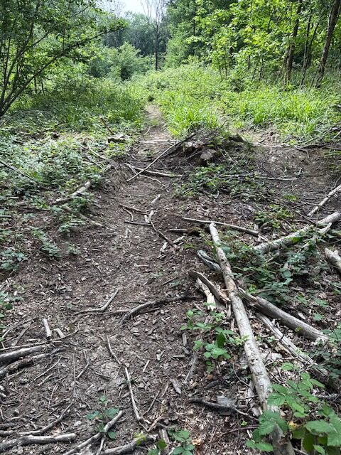
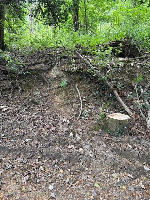
From path 45 this path appears to be in an area of forested trees. The mapped path is covered in mainly broken branches and twigs. There are big dips in the soft mud and obstructions. It is possible to identify vehicle tracks and there is some evidence of the path, however it is overgrown or destroyed. There is no exit from the middle of the path to path 45 without dropping down a 1.5 metre bank. No evidence identifiable of the southern section of path.
Path type: Footpath
Length (approximately): 299 metres long

Location: West Sussex
Grid reference: TQ 36261 34883
W3W: ///canal.reverted.browser
Added by: Matt OverdVerified by: Matt OverdLast reviewed: June 2025ID: GRAV089
Grid reference: TQ 36261 34883
W3W: ///canal.reverted.browser
Added by: Matt OverdVerified by: Matt OverdLast reviewed: June 2025ID: GRAV089