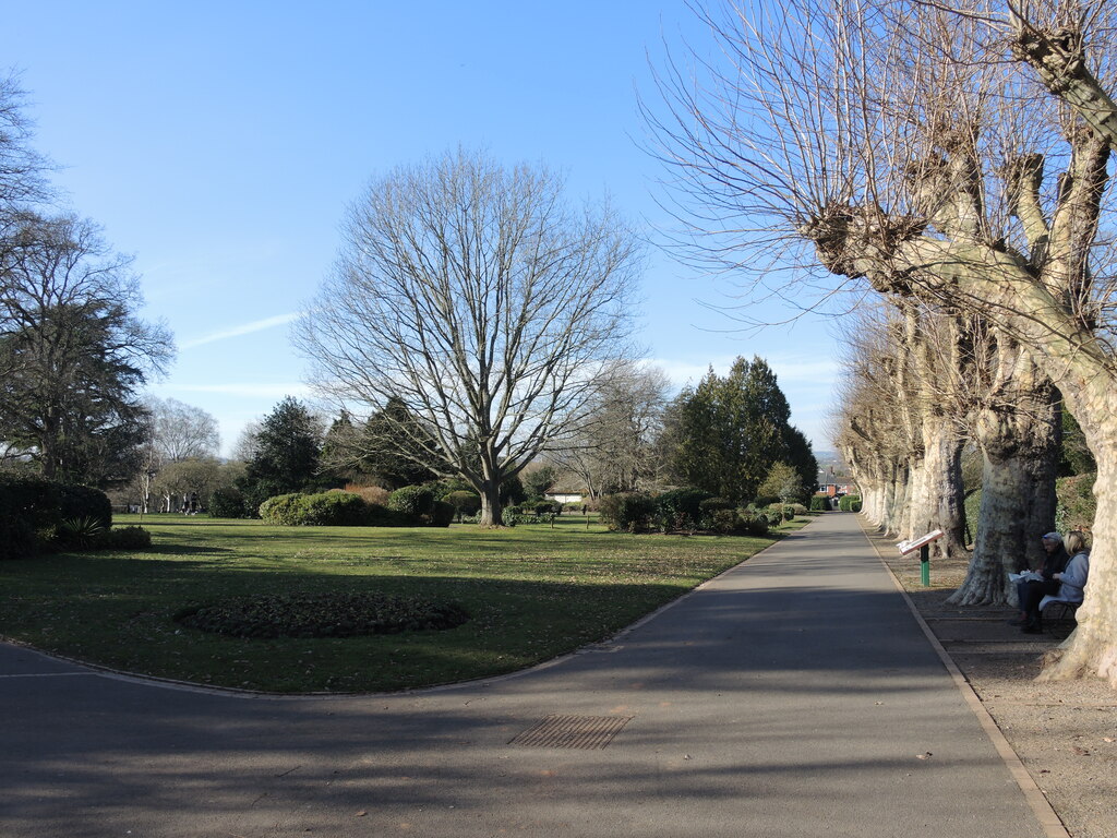
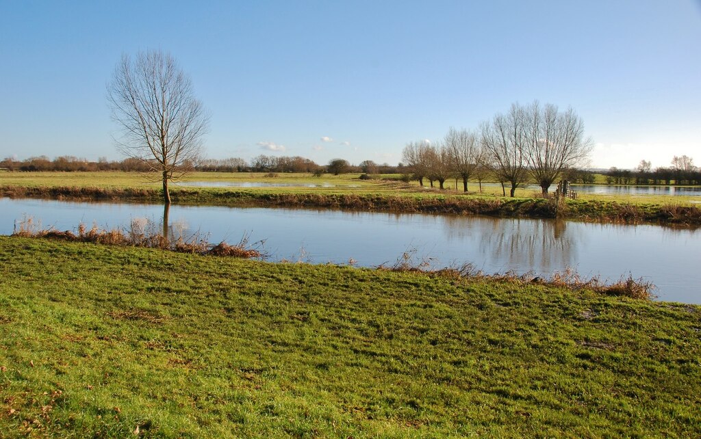
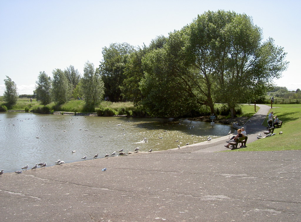
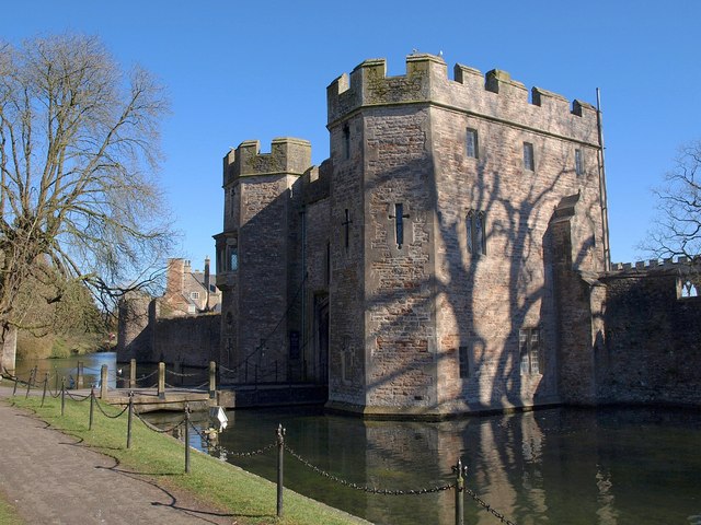
text walk paragraph


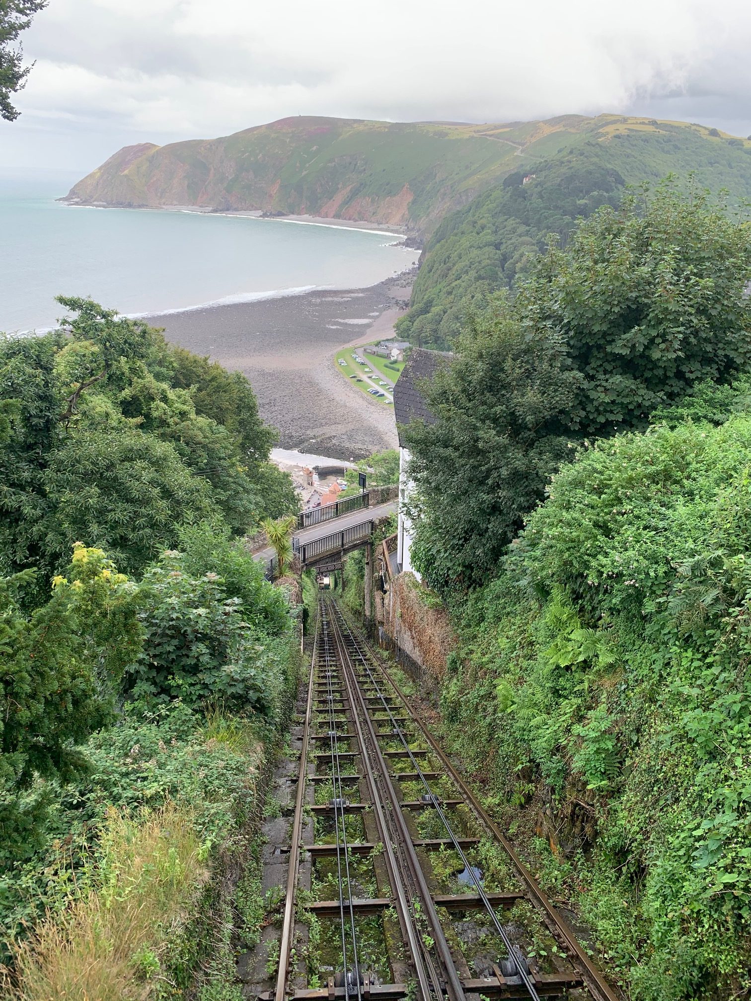
Walk Summary

 Location: Boggle Hole, Cumbria, East Midlands
 Distance: 1.0 miles (1.6 km)
 The walk is circular
 Ascent: 20 metres (65.6 feet)
 Type of walk: Beach
 Points of interest: Beach, Bird watching, Castle
 Protected Landscapes: High Weald National Landscape
 Trails and Ways: A Pennine Journey
Getting here
Starting point: start name
Postcode: start postcode
Grid reference: OS Grid ref
W3W: ///opera.situation.briskly
End point: The walk is circular
 Parking: Dedicated accessible parking
Car park has height barrier with a restriction of 2m
Car park opening times are car park opening times car park details Public Transport: Bus, Ferry
public transport details Cost of entry: Free - click for more information
Starting point: start namePostcode: start postcode
Grid reference: OS Grid ref
W3W: ///opera.situation.briskly
End point: The walk is circular
Parking: Dedicated accessible parkingCar park has height barrier with a restriction of 2m
Car park opening times are car park opening times car park details
Public Transport: Bus, Ferrypublic transport details
Cost of entry: Free - click for more information
Facilities
 Seats available maximum distance between seats is 400 metres
 Toilets available Accessible, Baby changing, Changing Places, Gender neutral, Male and Female
toilet details Food and drink available Cafe/s
 Shelter available Route is fully waymarked
 Information boards available
 Staff available to assist
 Dog waste bin available
 Defibrillator available
Seats available maximum distance between seats is 400 metres Toilets available Accessible, Baby changing, Changing Places, Gender neutral, Male and Femaletoilet details
Food and drink available Cafe/sfood and drink details
Shelter available Route is fully waymarked Information boards available Staff available to assist Dog waste bin available Defibrillator available
Accessibility summary
 Accessible for all wheelchairs

wheelchair notes Accessible for all pushchairs
 No stiles
 No steps
 Touch free
 There are gates, narrowest 200cm wide
 There are narrow gaps, narrowest 200cm
 All paths are at least one metre wide, narrowest 200cm
 Steepest gradient: 25% (1:4) - steepest path is 20% (1:5)25% (1:4)
 Walking surface: all paved or tarmac (10% tarmac/paved 10% small stones/ gravel 10% large stones 10% uneven rocks 10% steep and uneven 10% grass 10% vegetation 10% mud 10% cobbles 10% sand 10% boggy 10% boardwalk 10% TEST PERCENTAGE)
 Well used paths, people likely to be nearby
 There are road crossings, All use pedestrian crossings
 Not car free, includes: crossing a car park, road crossings
Accessible for all wheelchairs
wheelchair notes
Accessible for all pushchairs
No stiles
No steps
Touch free
There are gates, narrowest 200cm wide
There are narrow gaps, narrowest 200cm
All paths are at least one metre wide, narrowest 200cm
Steepest gradient: 25% (1:4) - steepest path is 20% (1:5)25% (1:4)
Walking surface: all paved or tarmac (10% tarmac/paved 10% small stones/ gravel 10% large stones 10% uneven rocks 10% steep and uneven 10% grass 10% vegetation 10% mud 10% cobbles 10% sand 10% boggy 10% boardwalk 10% TEST PERCENTAGE)
Well used paths, people likely to be nearby
There are road crossings, All use pedestrian crossings
Not car free, includes: crossing a car park, road crossings
walk notes title
walk notes for directions, etc
Route number: TEST001Produced for: Walk submitted to One Mile WalksAdded by: One Mile WalksVerified by: One Mile Walks
Last reviewed: August 2026
Photo credit: photo credits
Organisations: Ashdown Forest
Something not right? Got a comment?