
Not wheelchair accessible
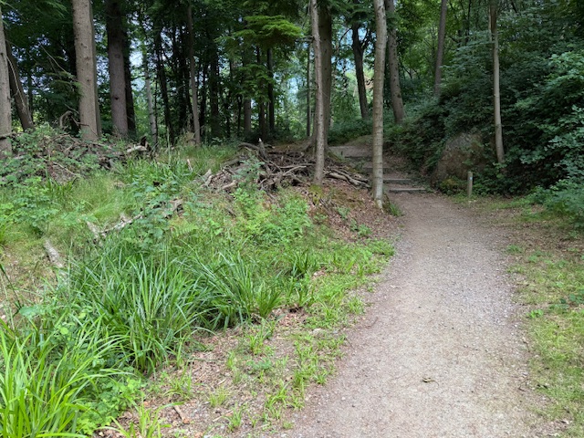
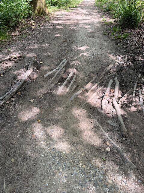
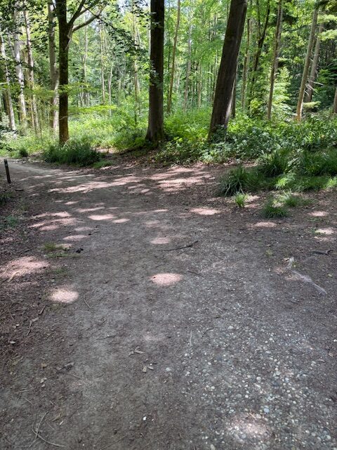
The surface is mostly flat compacted mud and stones with gradients, apart from a mound with steps and a bank, no higher than 10% and cross falls generally below 3%, but rising to 10% at the junction with the path heading east into Hastings Wood. There is evidence that the path would become soft mud in wet weather and there is one patch where branches have been used to cover a muddy puddle. The path is less than 2 metres wide in places (as narrow as 1 metre) and towards the Yellow Trail end of the path there is an unguarded slope to a steep drop to the stream.
This Woodland path is approximately 290 metres long with a Gravel/ stones (mostly under 4cm) surface
The narrowest point: 100 cm wideSteepest gradient: 10% (1:10)
Waymarked or signposted: YesHas raised edges: NoHas contrasting colours: No
Location: West Sussex
Grid reference: TQ 36893 34326
W3W: ///yourself.dividers.beyond
Added by: Matt OverdVerified by: Matt OverdLast reviewed: May 2025ID: Grav037
Grid reference: TQ 36893 34326
W3W: ///yourself.dividers.beyond
Added by: Matt OverdVerified by: Matt OverdLast reviewed: May 2025ID: Grav037