Not wheelchair accessible
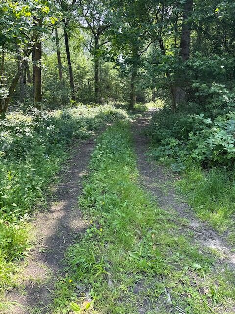
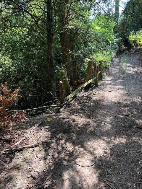
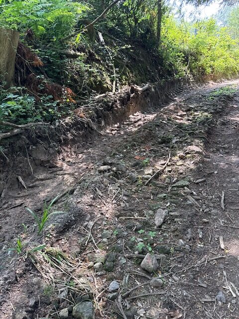
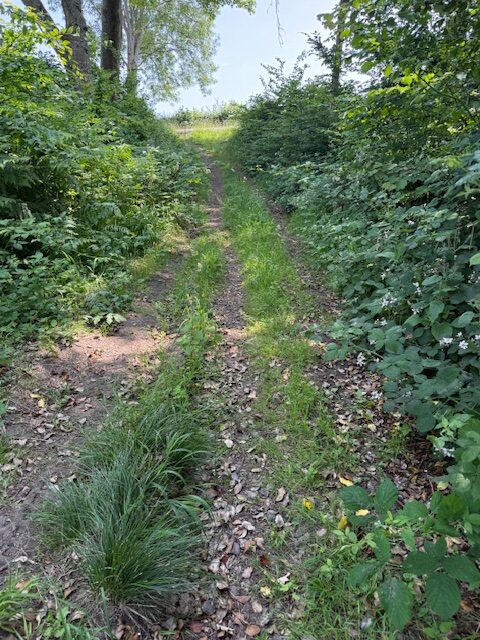
Path starts at the Path 40 end with a flat soft undulating mud surface with a central groove creating a cross fall of 7% and with a gradient of about 3%. Lots of sticks on the surface and some bumpy soft mud. Drainage groove across the path. Path is about 2.5m wide though due to central vegetation the usable width is reduced in places to just over a meter wide. Unfenced drop to the stream at TQ 3618634960. After the stream the surface has been wrecked by forest machinery with deep ruts in soft mud - difficult to pass when dry or wet. Path gradient rises to 17% and the surfaces improves, but has stones, branches and leaf litter. Path gradient rises to 18% on the approach to the Manor Driveway.
This Footpath is approximately 560 metres long with a Compacted mud and stones surface
The narrowest point: 120 cm wideSteepest gradient: 18% (1:5.6)
Location: West Sussex
Grid reference: TQ 36291 34942
W3W: ///outlooks.warping.toffee
Added by: Matt OverdVerified by: Matt OverdLast reviewed: June 2025ID: GRAV075
Grid reference: TQ 36291 34942
W3W: ///outlooks.warping.toffee
Added by: Matt OverdVerified by: Matt OverdLast reviewed: June 2025ID: GRAV075