No longer visible
Path not visible on the ground
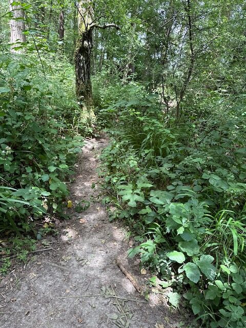
Path type: Footpath
Length (approximately): 210 metres long
Additional information: The path begins as a soft mud track, about 70cm wide, but the onward mapped path is no longer visible. The way trough this section of woodland has been re-routed via path 48.
Location: West Sussex
Grid reference: TQ 36705 34946
W3W: ///repay.slung.escaping
Added by: Matt OverdVerified by: Matt OverdLast reviewed: June 2025ID: GRAV085
Grid reference: TQ 36705 34946
W3W: ///repay.slung.escaping
Added by: Matt OverdVerified by: Matt OverdLast reviewed: June 2025ID: GRAV085