Not wheelchair accessible
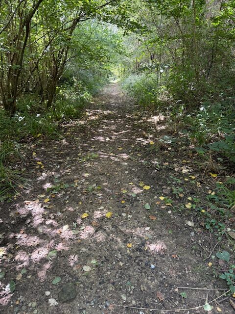
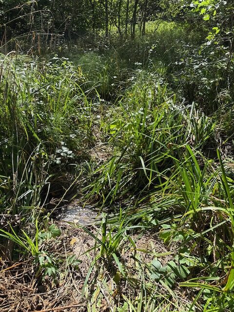
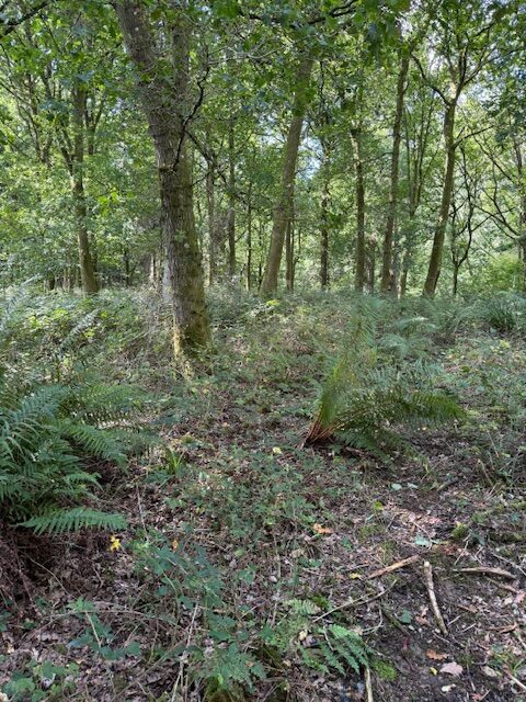
Path is not shown on the map, is visible from path 77. Uneven soft mud and grass surface with ruts and vegetation tumps. Gradients up to 6%. Some logs across the path. Path crosses a small stream after which it is difficult to identify and onward path line through the woods. Path is narrowed to 50 cm by vegetation.
This Footpath, Forestry track is approximately 110 metres long with a Grass, Soft mud surface
The narrowest point: 50 cm wideNo gradients over 10%
Waymarked or signposted: NoHas raised edges: NoHas contrasting colours: No

Location: West Sussex
Grid reference: TQ 36902 33047
W3W: ///hothouse.triathlon.crackles
Added by: Matt OverdVerified by: Matt OverdLast reviewed: September 2025ID: GRAV129
Grid reference: TQ 36902 33047
W3W: ///hothouse.triathlon.crackles
Added by: Matt OverdVerified by: Matt OverdLast reviewed: September 2025ID: GRAV129