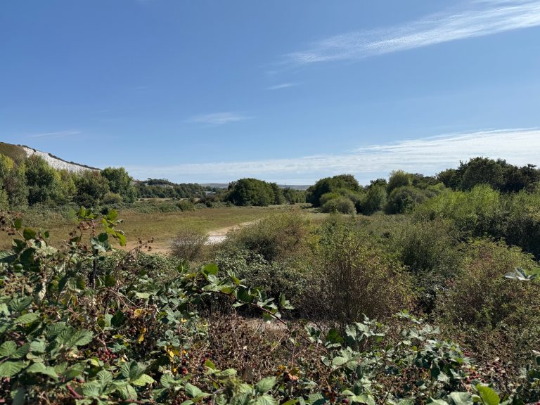
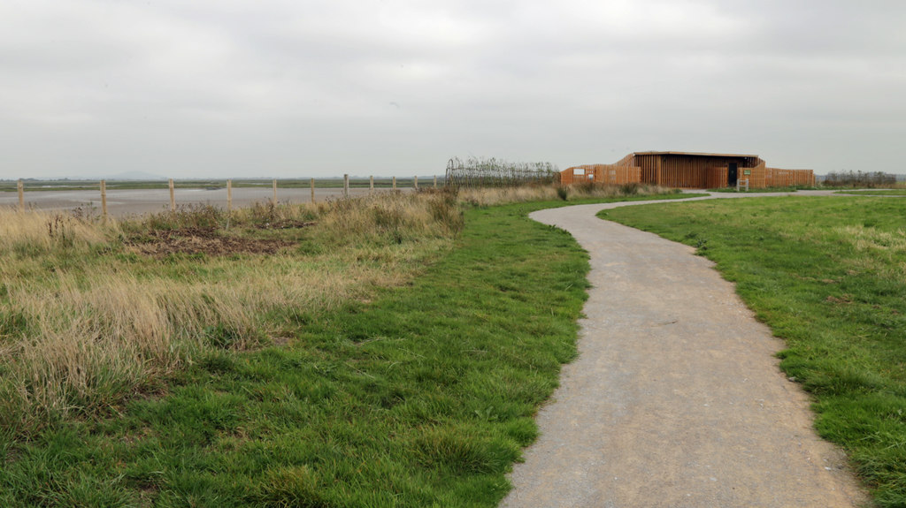
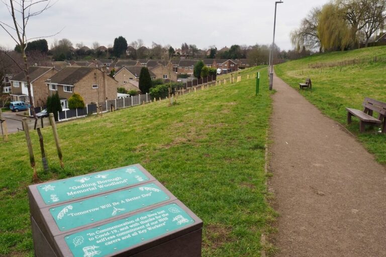
Just over a mile through lush woodland, into the Ashdown Forest and back along roads. This walk is reasonably flat underfoot, other paths not on the route but shown on the map are considerably more uneven.


Walk Summary
 Location: Crowborough, East Sussex, South East England
 Distance: 1.1 miles (1.8 km)
 The walk is circular
 Ascent: 37 metres (121.4 feet)
 Route grade: 14
 Type of walk: Woodland
 Points of interest: Nature and wildlife
 Protected Landscapes: High Weald National Landscape
Location: Crowborough, East Sussex, South East England
Distance: 1.1 miles (1.8 km) The walk is circular Ascent: 37 metres (121.4 feet) Route grade: 14 Type of walk: Woodland
Points of interest: Nature and wildlife
Protected Landscapes: High Weald National Landscape

Getting here
Starting point: St John's Car Park
Postcode: TN6 1SA
Grid reference: TQ 50466 31574
W3W: ///reworked.rise.batches
End point: The walk is circular
 Parking: In a car park, Paid for parking
 Public Transport: Bus
Buses 29, 226 and 228 stop at Crowborough Cross 0.8 miles (1.3km) from the start of the walk. Crowborough railway station is about 2.5 miles away. Cost of entry: Free
Starting point: St John's Car ParkPostcode: TN6 1SA
Grid reference: TQ 50466 31574
W3W: ///reworked.rise.batches
End point: The walk is circular
Parking: In a car park, Paid for parking Public Transport: BusBuses 29, 226 and 228 stop at Crowborough Cross 0.8 miles (1.3km) from the start of the walk. Crowborough railway station is about 2.5 miles away.
Cost of entry: Free
Facilities
 No seats
 No toilets
 No food and drink
 No shelter
 Not a waymarked route
 No information boards
 No staff available to assist
 No dog waste bin
 No defibrillator
No seats No toilets No food and drink No shelter Not a waymarked route No information boards No staff available to assist No dog waste bin No defibrillator
Accessibility summary
 Accessible for some wheelchairs
Includes a flat compacted mud track, pavements and paved roads. May be uneven and muddy in places. No steps, stiles or gates. The steepest part of the walk is on Old Lane where the slope exceeds 10%. Suitable for some off-road wheelchairs and pushchairs. Dropped kerbs at all road crossings. No pavement on Glenmore Road. The pavement on Old Road is bumpy, may be slippery and is narrowed to less than one metre in places by overgrowth. No seats, shelter, toilets or refreshments. Not waymarked, follow obvious paths and roads. Accessible for off-road pushchairs
 No stiles
 No steps
 Touch free
 No gates
 There are narrow gaps, narrowest 150cm
 Not all paths are over one metre wide, narrowest 70cm
 Steepest gradient: 12% (1:8.3)
 Walking surface: compact mud and stones, may be muddy in places, may be puddles in places, paved or tarmac, uneven in places (75% tarmac/paved 25% mud)
 Well used paths, people likely to be nearby
 There are road crossings, Dropped kerbs at all crossings
 Not car free
Accessible for some wheelchairs
Includes a flat compacted mud track, pavements and paved roads. May be uneven and muddy in places. No steps, stiles or gates. The steepest part of the walk is on Old Lane where the slope exceeds 10%. Suitable for some off-road wheelchairs and pushchairs. Dropped kerbs at all road crossings. No pavement on Glenmore Road. The pavement on Old Road is bumpy, may be slippery and is narrowed to less than one metre in places by overgrowth. No seats, shelter, toilets or refreshments. Not waymarked, follow obvious paths and roads.
Accessible for off-road pushchairs
No stiles
No steps
Touch free
No gates
There are narrow gaps, narrowest 150cm
Not all paths are over one metre wide, narrowest 70cm
Steepest gradient: 12% (1:8.3)
Walking surface: compact mud and stones, may be muddy in places, may be puddles in places, paved or tarmac, uneven in places (75% tarmac/paved 25% mud)
Well used paths, people likely to be nearby
There are road crossings, Dropped kerbs at all crossings
Not car free
Accessibility in detail
This route includes photos and measurements of key features so you can judge whether this walk will work for you.
Interactive Map
Click the route and icons for details
6 path sections,
The steepest point is 12% (1:8.3) the narrowest point is 70cm wide

 St John’s, Path One
 St John’s, Path Two
 St John’s, Path Three
St John’s, Glenmore Road
St John’s, Old Lane
St Johns, Path Six
St John’s, Path Three
St John’s, Glenmore Road
St John’s, Old Lane
St Johns, Path Six
No stiles
No gates
No steps
 One bridge,
which is 350cm wide
St John’s, Bridge One
One bridge,
which is 350cm wide
St John’s, Bridge One
No seats
No toilets.
This route includes photos and measurements of key features so you can judge whether this walk will work for you.
Interactive Map
Click the route and icons for details


 6 path sections,
The steepest point is 12% (1:8.3) the narrowest point is 70cm wide
St John’s, Path One
St John’s, Path Two
St John’s, Path Three
St John’s, Glenmore Road
St John’s, Old Lane
St Johns, Path Six
No stiles
No gates
No steps
One bridge,
which is 350cm wide
St John’s, Bridge One
No seats
No toilets.
Route number: CROW001Produced for: Crowborough One Mile WalksAdded by: One Mile WalksVerified by: One Mile Walks
Last reviewed: October 2024
Photo credit: All photos by Matt Overd
Organisations: Ashdown Forest

Something not right? Got a comment?